According to Innovation News Network, satellite data is playing a crucial role in addressing climate change by providing comprehensive monitoring of environmental shifts across the planet. The technology enables real-time tracking of critical areas including deforestation rates, greenhouse gas emissions, and biodiversity loss through advanced sensors and imaging techniques. Earth observation satellites operate in various specialized orbits to monitor weather patterns, assess land use changes, and measure atmospheric conditions. This data is increasingly essential for scientists and policymakers developing targeted interventions and conservation strategies. As climate challenges accelerate globally, this orbital perspective offers unprecedented insights into our planet’s changing systems.

The Technical Infrastructure Behind Climate Monitoring
The sophistication of modern Earth observation systems represents a quantum leap from early weather satellites. Today’s climate monitoring constellations employ hyperspectral imaging that can detect specific greenhouse gases like methane and carbon dioxide with remarkable precision. Instruments like NASA’s OCO-2 (Orbiting Carbon Observatory 2) can measure CO2 concentrations to within 1 part per million, while newer systems like ESA’s Sentinel-5P provide daily global coverage of multiple atmospheric pollutants. These satellites use advanced spectroscopy techniques that analyze how gases in the atmosphere absorb specific wavelengths of light, allowing scientists to create detailed emission maps and identify pollution hotspots with unprecedented accuracy.
The Data Processing Challenge
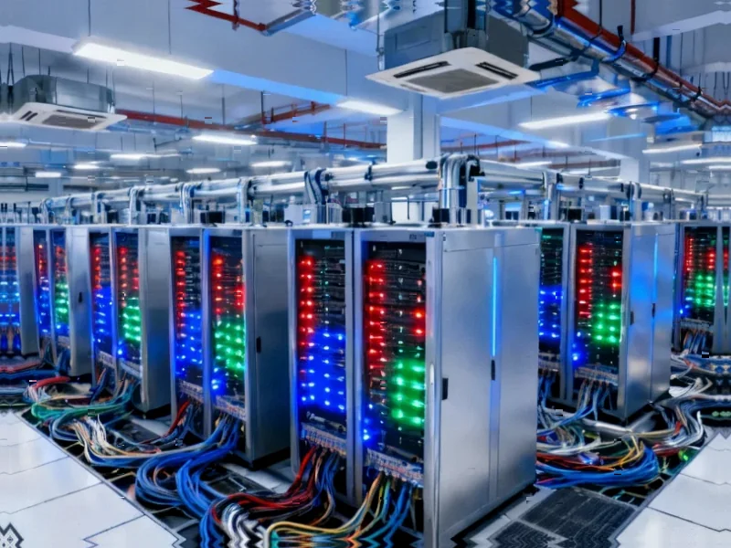
One of the most significant technical hurdles isn’t data collection but processing the enormous volumes of information generated. A single satellite can produce terabytes of data daily, requiring sophisticated machine learning algorithms and cloud computing infrastructure to transform raw observations into actionable insights. The earth observation applications ecosystem has evolved to include specialized processing pipelines that can automatically detect deforestation patterns, monitor agricultural health, and track urban heat islands. However, this creates computational bottlenecks where the sheer volume of data can overwhelm traditional analysis methods, necessitating increasingly sophisticated AI-driven approaches to extract meaningful patterns from the noise.
Next-Generation Climate Monitoring Capabilities
The coming decade will see revolutionary advances in orbital climate monitoring. Planned missions include constellations of small satellites working in concert to provide near-continuous monitoring of key regions, overcoming the temporal resolution limitations of current systems. Quantum sensing technologies currently in development promise to dramatically improve measurement precision for greenhouse gases, while laser-based LIDAR systems will enable three-dimensional mapping of forest biomass and carbon storage with centimeter-level accuracy. These technological leaps will transform our understanding of carbon cycles and ecosystem dynamics, providing the granular data needed for precise climate interventions and policy decisions.
Implementation and Accessibility Challenges
Despite the technological promise, significant barriers remain in making satellite climate data universally accessible and actionable. Many developing nations most vulnerable to climate impacts lack the technical infrastructure and expertise to effectively utilize these sophisticated data streams. There’s also the challenge of data standardization across different satellite systems and countries, creating interoperability issues that can hinder global collaboration. Furthermore, the high cost of developing and launching advanced climate monitoring satellites creates dependency relationships that can limit equitable access to the most cutting-edge observational capabilities.
The Path to Integrated Climate Intelligence
The ultimate potential lies in creating fully integrated climate intelligence systems that combine satellite data with ground-based sensors, ocean buoys, and atmospheric measurements. This multi-layered approach will enable scientists to create comprehensive digital twins of Earth’s climate systems, allowing for sophisticated modeling and prediction of climate impacts. As these systems mature, we’re moving toward a future where climate policy decisions can be tested in simulation environments before implementation, dramatically reducing the risks associated with large-scale climate interventions and ensuring that resources are deployed where they can have maximum impact.